Adding geojson vector data
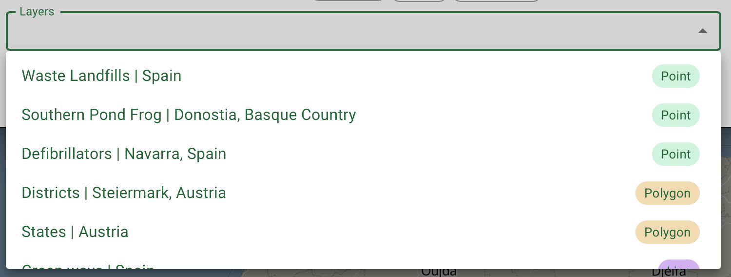
Once you have a base style selected (or an empty style if this is what you wanted), you may want to add data to it. We have already hundreds of layers that you can use for free, as they are open sourced to the public. We have curated them and prepared so you can use it right now!
Add a new geojson layer
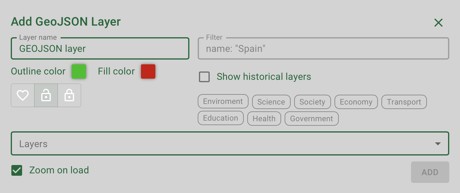
On the actions bar click on the button geojson and a new modal will open. A geojson layer is a kind of vector data that contains information and can be of different geometry types: point, line, area...Let's add a new one to our map.

Filter the available layers
As the amount of data layers we are gathering from open sources is continuosly growing, you may want to filter the datasets.

Edit the layer properties
Before moving on, you can select the color of the objects that will be shown in the map. This can be changed later but now is a good moment to do so, so you dont need to edit the layer later.
Name
You can leave the standard name or you can edit it by clicking on the box called Layer name, where the name appears.
Colors
Select any color you want (including the possibility of having transparencies), for the outline and the fill of the objects in the layer. After that, press the button and your dataset will be added. If you want to zoom to the extent of the layer, make sure to leave the box ticked.
